Home
Up
Arizona Chase 2001
This page has images and reports from the 2001 Monsoon Chase Season in Arizona.
![]()
July 14 - The first major storm to hit the area caused one death and extensive damage in Phoenix, Paradise Valley and Scottsdale. Ironically, the storm was very small, lasted a short period of time, and was unimplressive on radar. It had extremely heavy rain, however, which produced damaging microbursts. It also had, form my vantage point, continuous thunder (low grumbling) with no visible lightning.
Tree damage came within one mile of my house, but my peak winds were under 20. 1.5 miles away in PV, large power poles were downed in a half mile swatch on Lincoln between Tatum and 56th street, closing Lincoln for a day. Just NE, they were downed on Scottsdale road from Shea to Indian Bend, killing one driver. In both cases, people were trapped in their cars. The storm also did heavy tree damage in the area, and knocked down many trees in PV and in the McCormick Ranch area of Scottsdale, and also in the Arcadia Area of Phoenix. A number of houses sustained significant damage from falling trees.
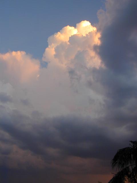
July 30 - A strong line of storms moved from east to west across central AZ, causing very heavy rain up to 4" in the high country. At my house, .83" was recorded over a 5 hour period. The storms here had moderate winds and virtually no lightning, although lightning maps showed lots of lightning over the mountains.
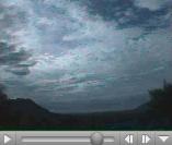
July 31 - The morning after the storms, clouds were visible at many levels of the atmosphere, moving in all different directions. I captured the most dramatic of this motion in the following 13 second (2 megabyte) movies. Click the image to play the movie in Quicktime format. This is a good example of directional shear - wind moving different directions at different levels of the atmosphere.
Aug 14 - large band of very intense thunderstorms formed north and north-east of the valley by 3PM and moved southwestward into the valley. I decided to head towards the Deer Valley area because that area has seen the most severe winds with other storms with a similar genesis, including one 5 years ago this date which had $165,000,000 in insurance claims - starting in that area.
As I drove north of the Phoenix Mountains, the storms came into view, with heavy precipitation and frequent cloud-to-ground lightning from north Scottsdale to around Black Canyon city. Heavy dust was visible north of the CAP canal. I chose to drive west on the loop 101 from Cave Creek road to get in front of the strongest winds, and experienced gusts estimated in the 50mph range and dust-storm visibilities of less than 100 yards. Ultimately, I drove along the edge of the storms from there to Buckeye, before abandoning the chase.
I took some photos, two of which can be seen by clicking on the small images below:
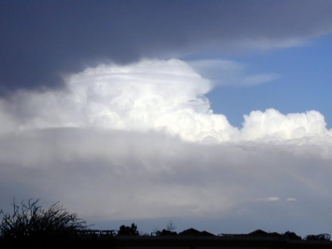
Mushroom Cloud - This is a storm near Sunflower which went up and became very severe. For a short time, it had two rings around it which are visible in the picture, and also pilius - indicative of explosive development.
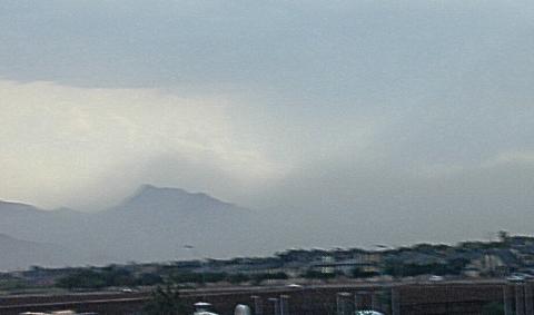
Outflow Dust around Mountains. - Unfortunately the focus isn't quite right on this. It shows the Estrella mountains area after a dusty outflow has gone through, with the dust clouds following the terrain countours.
Aug 31 - After a long hiatus with no storms, unforecasted severe thunderstorms came into the valley in the early evening. I decided to see if I could get some night pictures, hand-holding the Nikon 950 digital still camera. And.... it worked! So here they are (click for large):
 Tonite's Haboob |
 Cloud Top over Dust at Sunset |
 Microburst At Night |
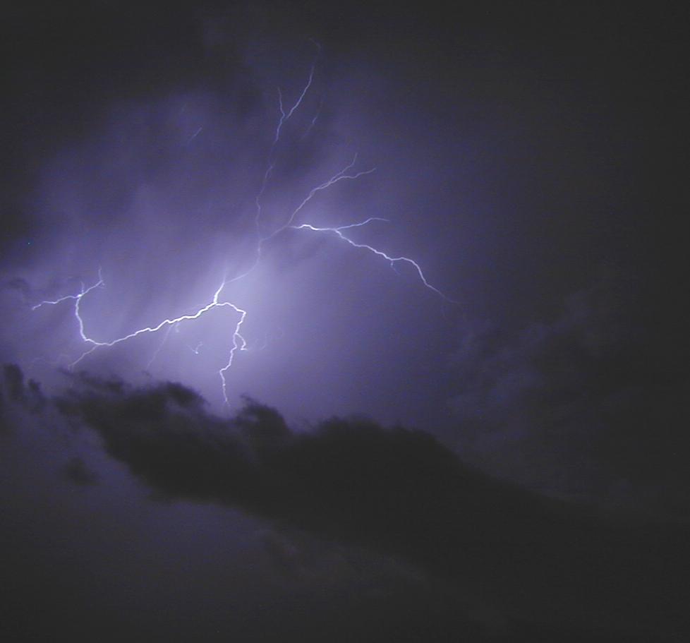 Lightning Claw |
 Lightning and Whirlygig |